Just one guys opinion here, but I think that this is the best waterfall in
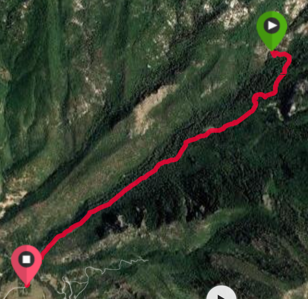
The Dry Creek Trail Rides the ridge on the south of Dry Creek
Northern Utah county. Horsetail falls (7,228 feet) is a gorgeous cascade over granite that has very different looks depending on the season from ice and snow in the winter, to power and volume in the spring dwindling down to a pretty cascade in the fall.
Dry Creek Trailhead – Alpine Utah
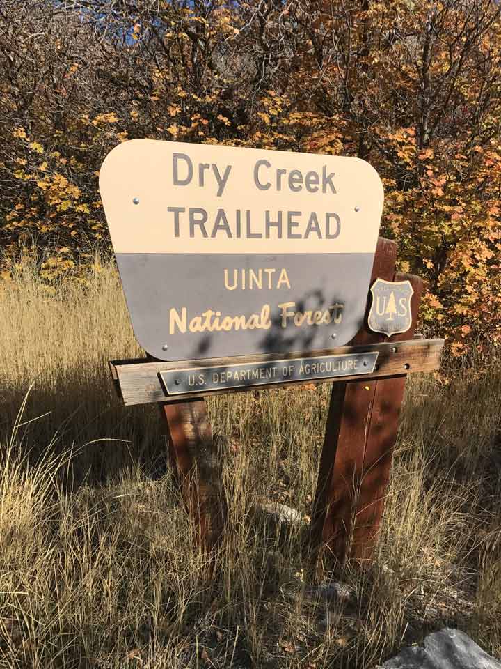
Dry Creek Trailhead – Alpine, UT
The shortest route to horsetail falls (4 miles round trip with a gain of 1590 feet on my Garmin) is to use the Dry Creek Trailhead above Lambert park and the rodeo grounds in Alpine. Another option is to begin up the north fork of American Fork Canyon at Granite Flats campground hiking over the divide and down the Dry Creek Tail to Alpine intersecting Horsetail Falls on the way down –But that is a serious hike.
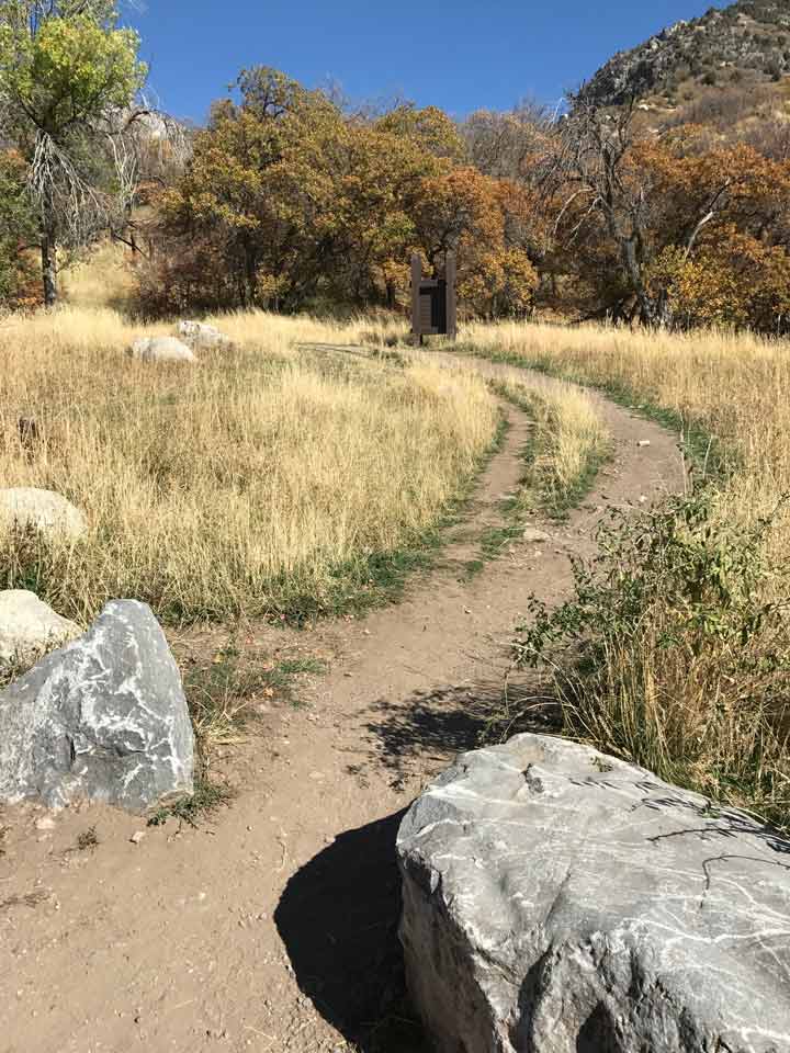
The Beginning of Dry Creek Trail (Alpine, UT)
Beginning at the Dry Creek Trailhead (5,671 feet according to my Garmin), take the trail out of the east side of the parking lot. You will begin passing through scrub oak and within a quarter of a mile you will find yourself passing into a gorgeous alpine forest. The trail gains altitude quickly and continuously over the next two miles.
Horse Access to Dry Creek Trail
My last visit to Dry Creek Trail was in late October 2016. I encountered plenty of hunters, as well as many enjoying the trail on
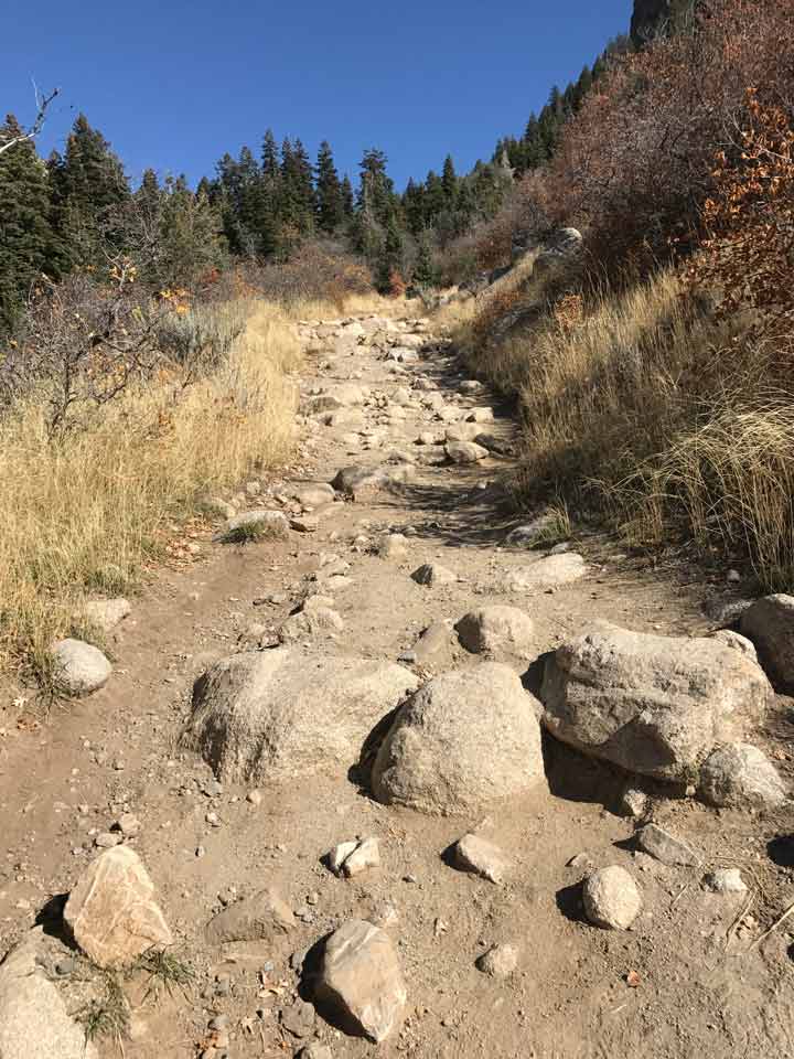
Dry Creek Trail – Mind the Rocks and don’t turn an ankle
horseback. Make sure that in addition to enjoying the scenery and the beautiful views to the southwest that you mind your step!
After about 1 1/4 miles, the trail becomes noticeably more rocky. You will encounter areas where you are scrambling from rock to rock and having to mind you step so as to not turn an ankle.
You will cross a couple of creeks. While the trail has had some maintenance to minimize runoff cutting the trail, you will still have a

Crossing the Creek – Dry Creek Trail
few muddy spots to maneuver. Major creek crossing have a nice log(s) to help you cross.
Horsetail Falls – Where to Leave the Trail
After nearly 2 miles, you will encounter a split in the trail with a sign with 2 pointers to the right saying:
Deer Creek – Dry Creek Tr No 043
and
North Mountain Tr No 042 Jct
Ignore the sign and go left. After about 30-50 feet going up the left
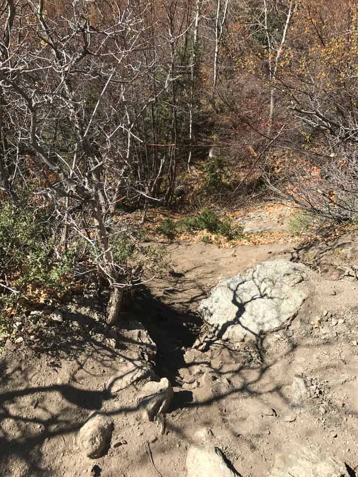
Leaving the Dry Creek Trail for the Horsetail Falls Final Approach
fork, you will notice a slight trail dropping off on the left. This is it. It really is.
Follow the most worn path up and down through the trees for about 500 feet and you will arrive at the falls and an awesome view.

Horsetail Falls in Late October
Be prepared to turn around for the first time on your trip and realize the awesome view!
Viewing Dry Creek Canyon Down to Alpine
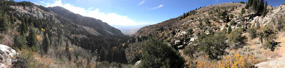
Viewing Dry Creek Canyon Down to Alpine
If you don’t have a good view down the canyon to the southwest, then move around, climb on a rock and get one! It is a great view stop and enjoy. You’ve earned it.
The trail back down will be much easier. Remember to watch your step on those rocks as well as watching for leftovers from the horse traffic!
Fast hikers can make the trip in 2 hours. Schedule 3-4 for slower and more distractable hikers.

The descent from Horsetail Falls on Dry Creek Trail is About 2 Miles and 1590 vertical feet.
Latest posts by Jeff (see all)
- Hike Observation Point – Zion National Park - April 9, 2017
- Scout Camping in Utah During Cold Months - April 2, 2017
- Camping – Five Mile Pass - April 2, 2017